

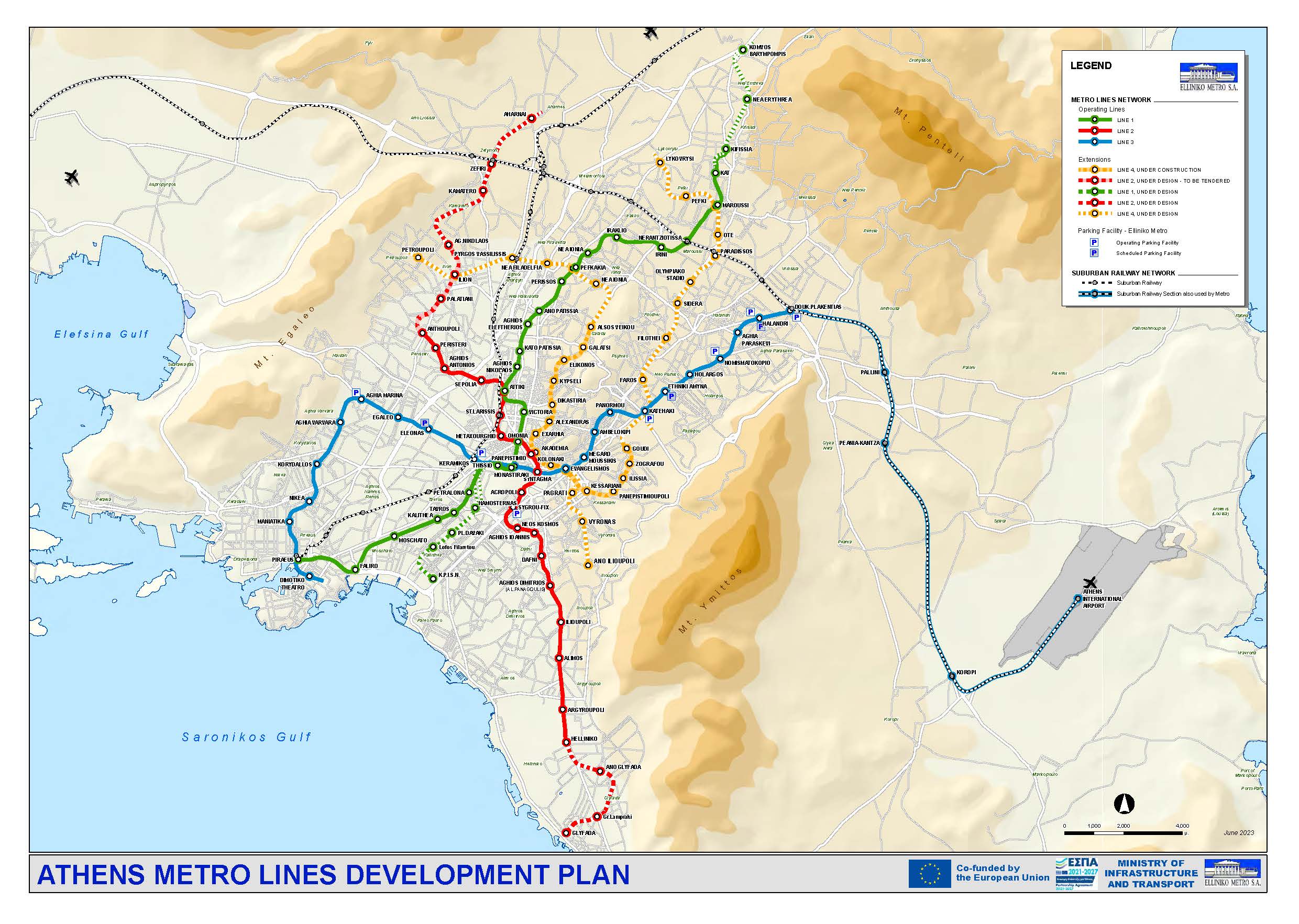
Athens can be navigated through all modes of transportation. For public transportation, the three metro lines cover the majority of points of interest, and its map can be found above. Buses and other public transportation options cover all other needs. There is only one type of ticket that can be used on all public transportation, and once scanned will start a 90 min period for which public transportation can be used at will.
To plan a route using public transportation (be it bus, metro, or tram), you can use the Moovit app to automatically plan the route using regularly updated timetables, including where and when to get on and off the bus. Manually, you can check the timetables for public transportation on the OASA website (Athens public transportation website).
For taxi, there are a number of popular Greek apps, FreeNow and Taxiplon. Uber also works in Athens, but its function is to call a taxi.
If you wish to leave Athens and explore our islands, instead of flying you might wish to use the Ferryhoper service to plan a trip by sea instead, especially for the close by islands such as Aegina, Salamina, Hydra, and Kea.